Features Altimeter GPS Offline Altitude
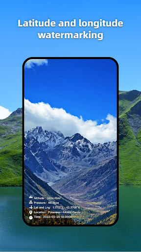
The Altimeter GPS Offline Altitude is a necessary app for outdoor people, including information such as geographical location, GPS, altitude, oxygen content, atmospheric pressure, and direction; It can be used when measuring and recording geographic information during travel and work, and it can also take photos with information such as height, longitude, and latitude.[Function]1.
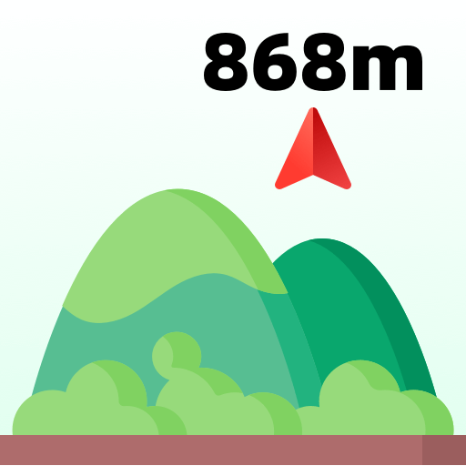
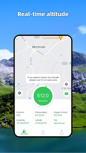
Altitude: Display the current altitude information accurately and in real time.2.
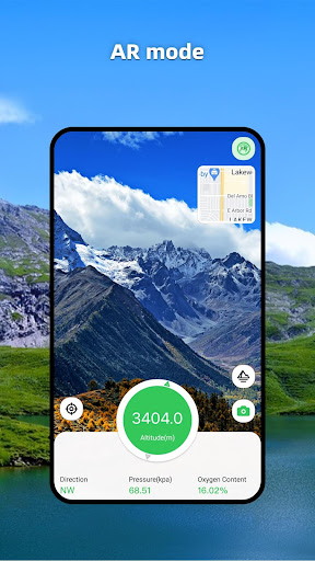
Query altitude: View other locations to measure altitude.3.
Compass and level: Accurate and real-time display of current direction.Locator: Displays the current longitude, latitude, and address information, and displays it on the map.5.
Social sharing: You can take photos with height, longitude, latitude, and other information to share.The format of longitude and latitude is as follows:-DMS degrees, minutes, seconds hex-DD DecimalThe height format is as follows:-Meters-FeetThe air pressure format is as follows:- kpa- mbar- atm- mmHg-GPS does not work well indoors.-GPS accuracy depends on the receiver in your device.-Air pressure data depends on the presence or absence of air pressure sensors in your device.
Social Features
Connect and share with friends and the community.
Gaming Features
Enjoy immersive gaming experience with various game modes.
Camera Features
Advanced camera features with editing capabilities.
See the Altimeter GPS Offline Altitude in Action
Get the App Today
Available for Android 8.0 and above